Build-up of IMS stations in Central Asia continues with completion of installation of PS44
Located in Central Asia between the Karakum Desert and the Kopet Dag mountain range and just a few kilometres from the border with the Islamic Republic of Iran, primary seismic station PS44 in the Republic of Turkmenistan has now been fully constructed and is currently undergoing testing. PS44 is one of the 337 facilities belonging to the International Monitoring System (IMS), which are being established around the world to monitor compliance with the Comprehensive Nuclear-Test-Ban Treaty (CTBT). The CTBT bans all nuclear explosions. During the Treaty negotiations in 1994-1996, the locations of the 337 facilities were determined.

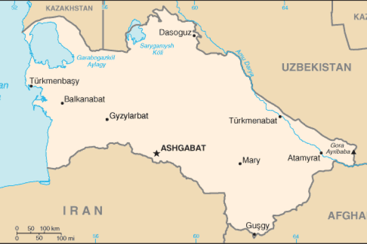
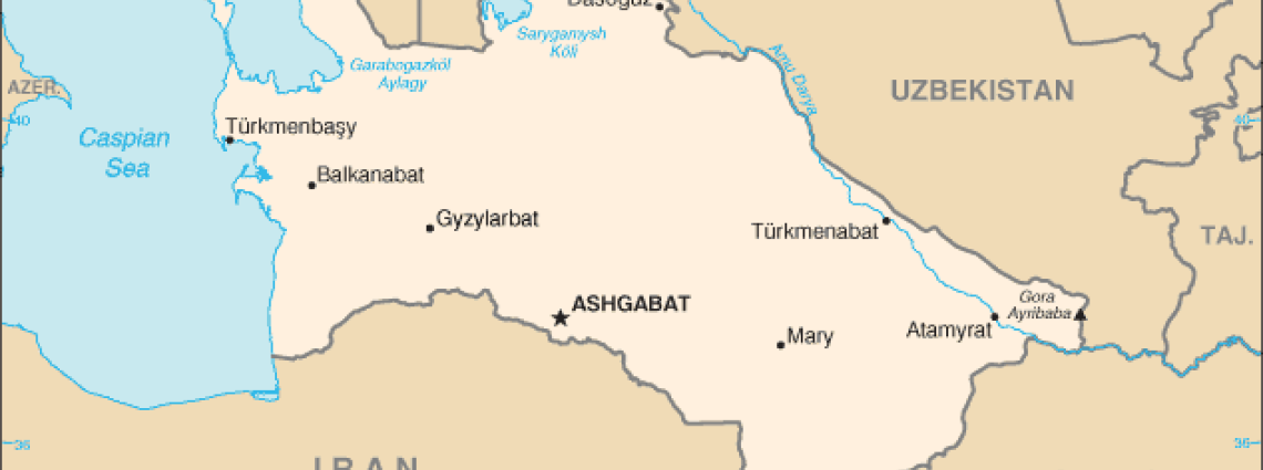
Map of the region
Turkmenistan is in a region characterized by permanently high seismic activity, with the Kopet Dag-Caucasia-Crimea rupture zone crossing the Caspian Sea from Turkmenistan to Azerbaijan. PS44 has been constructed near this seismic fault in the village of Alibeck, less than 30 km from the capital city, Ashgabat. On 5 October 1948, an earthquake measuring 7.3 on the Richter scale virtually razed Ashgabat and its suburbs to the ground, killing an estimated 110,000 people. Seismic monitoring in this area is therefore of particular significance and most of the buildings constructed in the area since 1948 contain seismic resistant features.

Museum in Ashgabat dedicated to victims of the 1948 earthquake.
The Research Institute of Seismology of the Academy of Sciences of Turkmenistan began the installation of PS44 in early 2008. When the station’s Central Recording Facility (CRF), which is situated in Ashgabat, started transmitting seismic data to the CTBT’s International Data Centre (IDC) in Vienna on 5 October 2008, the date was highly symbolic, commemorating the 60th anniversary of the country’s devastating earthquake.
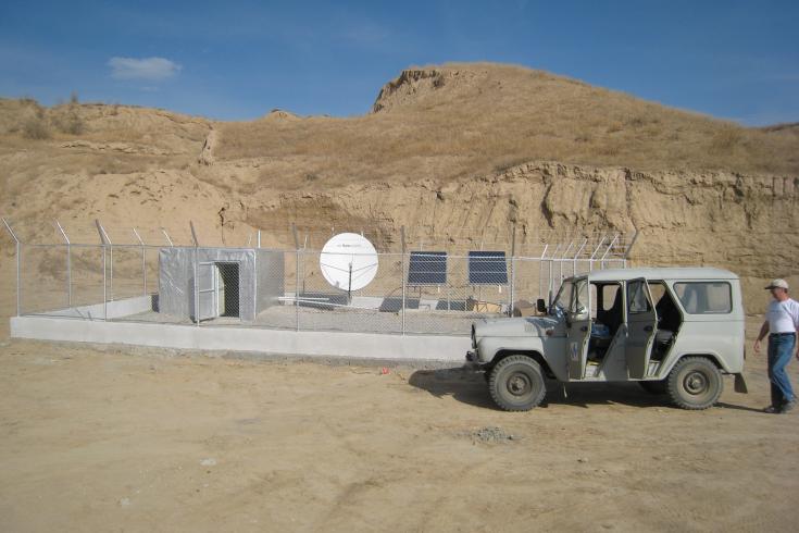
Over the following year, work at PS44 continued. The station is a seismic array with sensors distributed in two concentric circles with an approximate aperture of 5 km. Using an array rather than just one sensor to collect signals improves data quality. PS44 consists of nine single component vertical elements and one broadband 3-component seismometer. The station is located in hilly terrain with a difference in elevation between the array elements of up to 80 metres in altitude. It was therefore challenging to design a reliable intrasite communication system. The array was eventually constructed with individual satellite links from each of the elements to the CRF in Ashgabat, from where data are transmitted to the IDC through a Global Communications Infrastructure (GCI) link.

The installation of PS44 approaches completion.
There are several other IMS stations in the region: three seismic stations to the south in Iran, and one infrasound and four seismic stations in neighbouring Kazakhstan, to the north of Turkmenistan. Primary seismic station PS23 at Makanchi in eastern Kazakhstan has been constructed south-east of the former Soviet nuclear testing site of Semipalatinsk, where over 450 nuclear tests were conducted between 1949 and 1989. This area was also the scene of a major on-site-inspection exercise, the Integrated Field Exercise 08 (IFE08), carried out by the Preparatory Commission for the Comprehensive Nuclear-Test-Ban Treaty Organization (CTBTO) in September 2008.
Over 250 facilities now certified as meeting CTBTO’s technical specifications
The CTBTO recently reached a historical milestone with the certification of its 250th IMS facility on 16 November 2009. This means that the equipment, infrastructure and settings of 75 percent of the monitoring facilities envisaged by the Treaty already meet the technical specifications set by the CTBTO. In addition, all data from these stations are being transmitted to Vienna through the GCI in a timely manner. PS44 was also certified on 19 February 2010. As the build-up of the CTBT’s verification system approaches completion, it becomes increasingly difficult for a would-be nuclear perpetrator to evade detection.
Yuri Starovoit, Seismic Project Manager with the IMS, outside PS44.
27 Nov 2009
