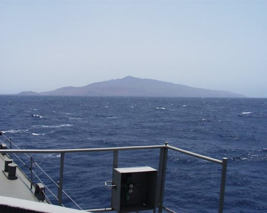
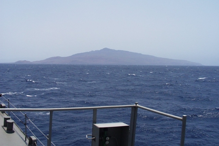
HA6, Socorro Island, Mexico
The island is of volcanic origin.
Thumbnail profile: Socorro Island

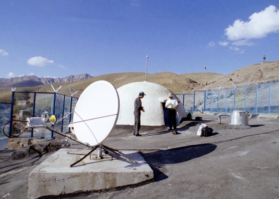
The Mexican Navy supported site construction by making boats available for transport.

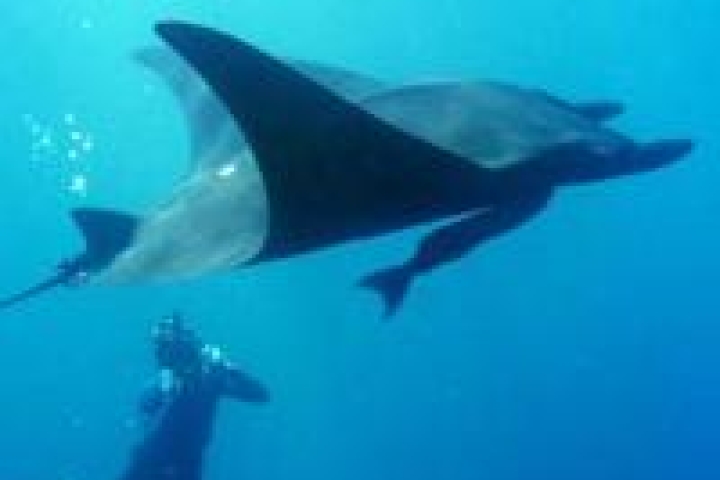
The waters around Socorro Island are renowned for their large manta rays. Photo: David McMurdie.

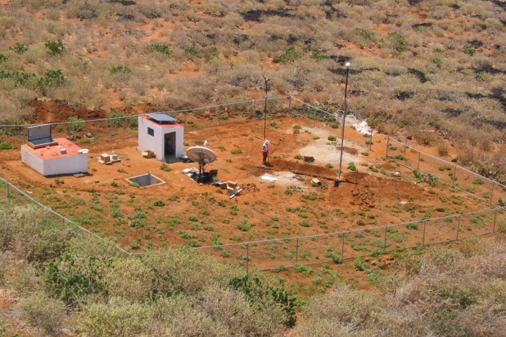
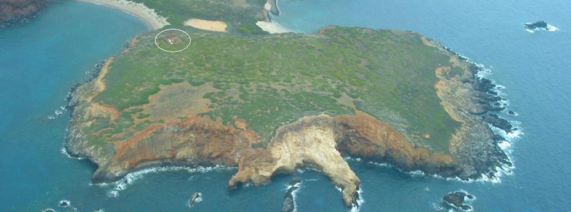
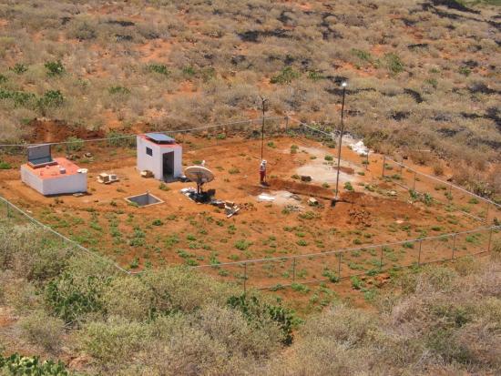
Aerial view of HA06's shore facility.
Station Profile

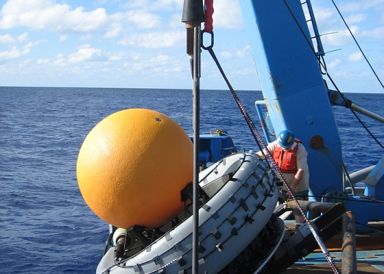
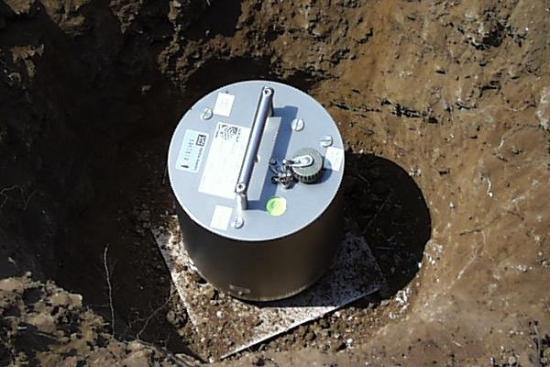
One of HA06's seismometer that can detect hydroacoustic waves that are converted to seismic waves when they hit the shore.
It uses seismometers to detect hydroacoustic waves that are converted to seismic waves when they hit the shore of an island. Each element site consists of three principal sub-structures: a data acquisition system, power supply system and satellite communications system. The remoteness of Socorro Island from major human settlements or traffic allows precise measurement results.
IMS Station Locations
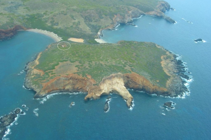
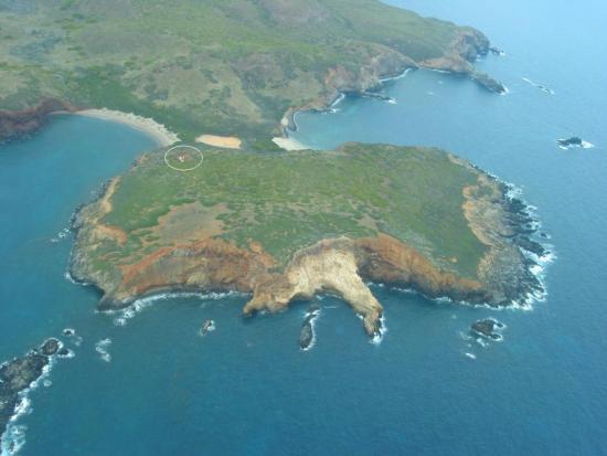
There are three sites, each with a three-component seismic sensor. The northern seismometer is on the north tip of the island and accessible only by sea, departing from the Naval Base. The southern one is close to the shore and easily accessible while the eastern one is 300 m above sea level, about half a kilometre from the airstrip and reachable by car from the Naval Base. Learn more about how the hydroacoustic technology works.

Construction of HA06 began in April 2004.
Build-up, Certification, Testing and Evaluation

The northern seismometer is on the north tip of the island and accessible only by sea.