RN40, Kuwait City, Kuwait
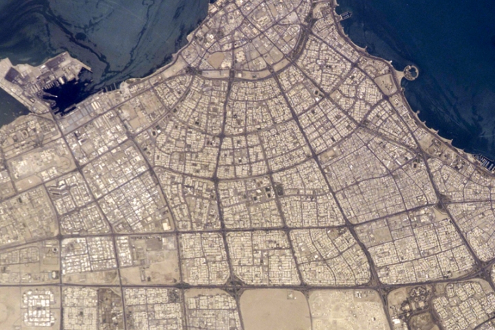
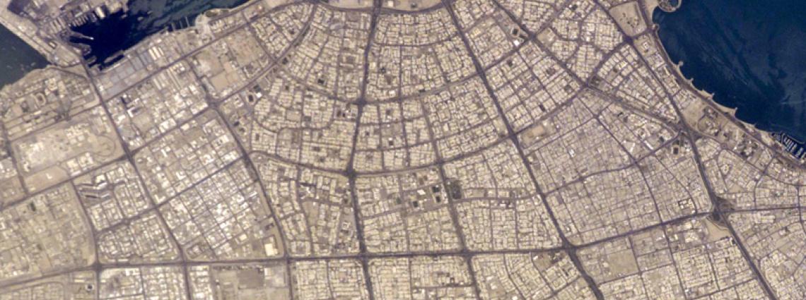
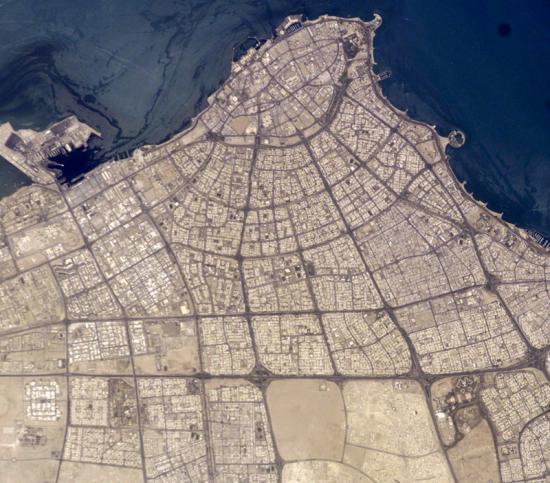
Satellite image of Kuwait
Thumbnail profile: Kuwait
The State of Kuwait is a constitutional monarchy on the coast of the Persian Gulf, enclosed by Saudi Arabia to the south and Iraq to the north and west. The name is a diminutive of an Arabic word meaning "fortress built near water."
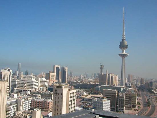
With an estimated population of 2.4 million in the metropolitan area, Kuwait City is located at the heart of the country on the shore of the Persian Gulf. Kuwait City was first settled in the early 18th century by the Al-Sabh clan, today the ruling family of Kuwait. The settlement grew quickly, and by the time its first wall was built (1760), the town had its own 800-strong fleet of ships called “dhows”, and nurtured flourishing trade relations with Baghdad and Damascus. It was a successful and thriving sea port by the early 19th century. With the discovery of oil in 1936, the city’s standard of living improved dramatically, including health and education services.
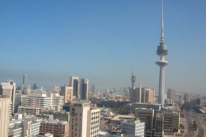
However, the Gulf War broke out on 2 August 1990 when Iraqi forces seized the city and then annexed the Emirate. During the occupation, the city was extensively damaged. After Iraqi forces retreated from Kuwait in winter 1991, foreign investors and the Kuwaiti government became actively involved in modernizing the city and turning it into a world-class business hub.
Geography and Climate
Kuwait is 17,818 km² in area, mostly flat, sandy desert gradually sloping towards the sea.The Kuwaiti mainland, devoid of mountains, rivers or other natural features, was long a transit area for nomadic tribes and caravans. Such freedom of movement made delineation of borders difficult. In 1965 a neutral zone was created between the State of Kuwait and the Kingdom of Saudi Arabia. The crude oil extracted from the partitioned zone is shared equally by both countries.
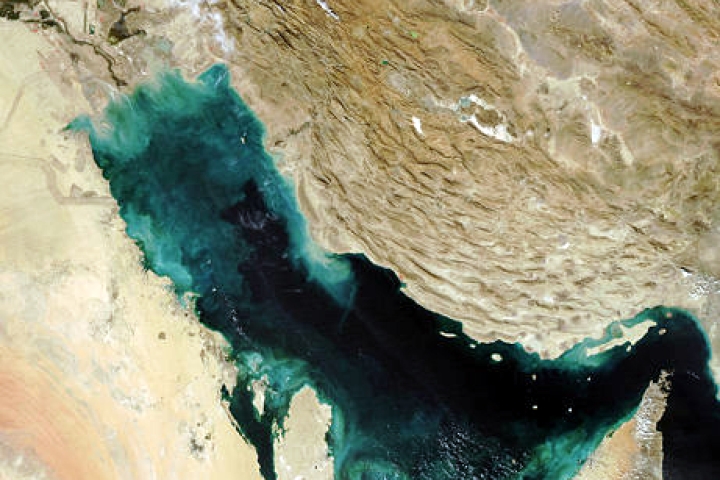
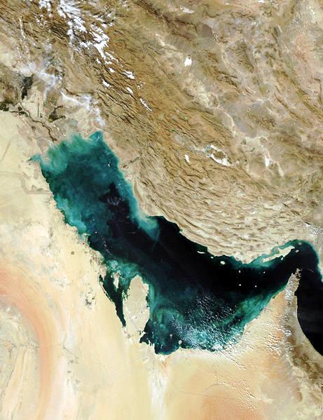
Satellite image of Arabian Peninsula
Due to Kuwait’s location in the Sahara geographical region, the country’s weather is characterized by long, hot, dry summers and short, warm, sometimes rainy winters. Dust storms almost always occur with a rise in humidity during summer. The highest temperature ever recorded was 52°C in July 1978, making Kuwait the fourth hottest country in the world.
The 12-mile boundaries of Kuwait’s territorial waters give it an estimated at about 3,540 square km (2,200 square miles), divided into two parts: the shallow northern area averaging less than 5 m depth, and the relatively deep southern area where most of Kuwait’s ports are located.
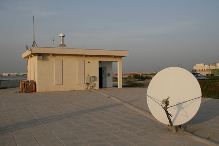
RN40 is located about three metres above sea level on the southern shore of Kuwait Bay.
IMS Station Location
IMS radionuclide station RN 40 is a particularly important station for Comprehensive Nuclear-Test-Ban Treaty (CTBT) verification in the Middle East, as it is currently the only radionuclide station in the region. The only other radionuclide station in the region foreseen in the Treaty, RN36 in Teheran, is still in the planning stage.
RN40 is located about three metres above sea level on the southern shore of Kuwait Bay, west of the Arabian Gulf in Shuwaikh, Kuwait City, Kuwait. RN40 is within the premises of the Kuwait Institute for Scientific Research (KISR).
Radionuclide Station Profile
The Kuwait Institute for Scientific Research (KISR) is a Ministry of the Kuwait Government. An International Surveillance Atmospheric Radionuclides (ISAR) station at this site had been operating and sent data to the earlier Prototype International Data Centre (PIDC) from 1994 to 2000.
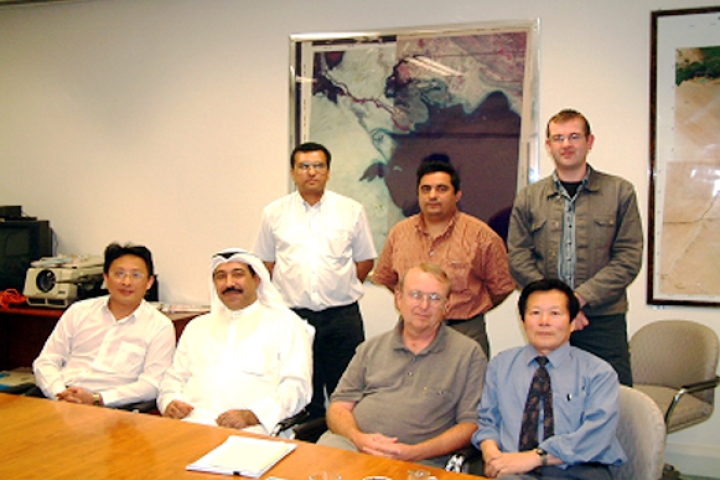
The station operators were trained during the installation of the equipment.
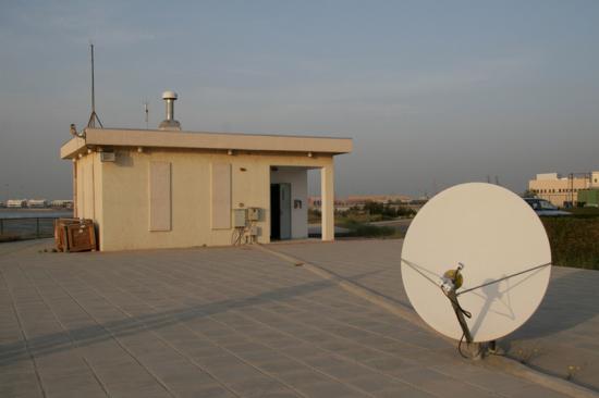
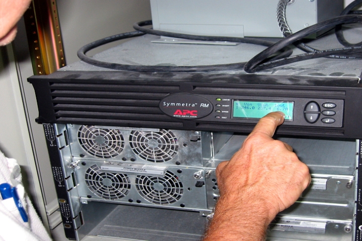
The current 1000 m2 station area is fenced off and has only restricted access. The site comprises the station building, a Very Small Aperture Terminal (VSAT) antenna and a diesel-powered electric generator. A building was constructed solely to host IMS equipment and is within walking distance of the offices of the local station operators who are KISR staff members.
Kuwait’s RN40 is an automatic station of the RASA type—that is, a Radionuclide Aerosol Sampler and Analyzer—system. The station operators were trained during the installation of the equipment. Learn more about how the radionuclide technology works.
The site comprises the station building, VSAT antenna and diesel-powered electric generator.
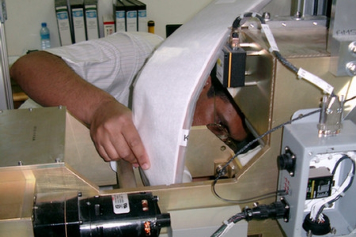
Installation of RN40
